Example Residential Imagery
What is the best way to model a Residential site for Scanifly?
App Navigation
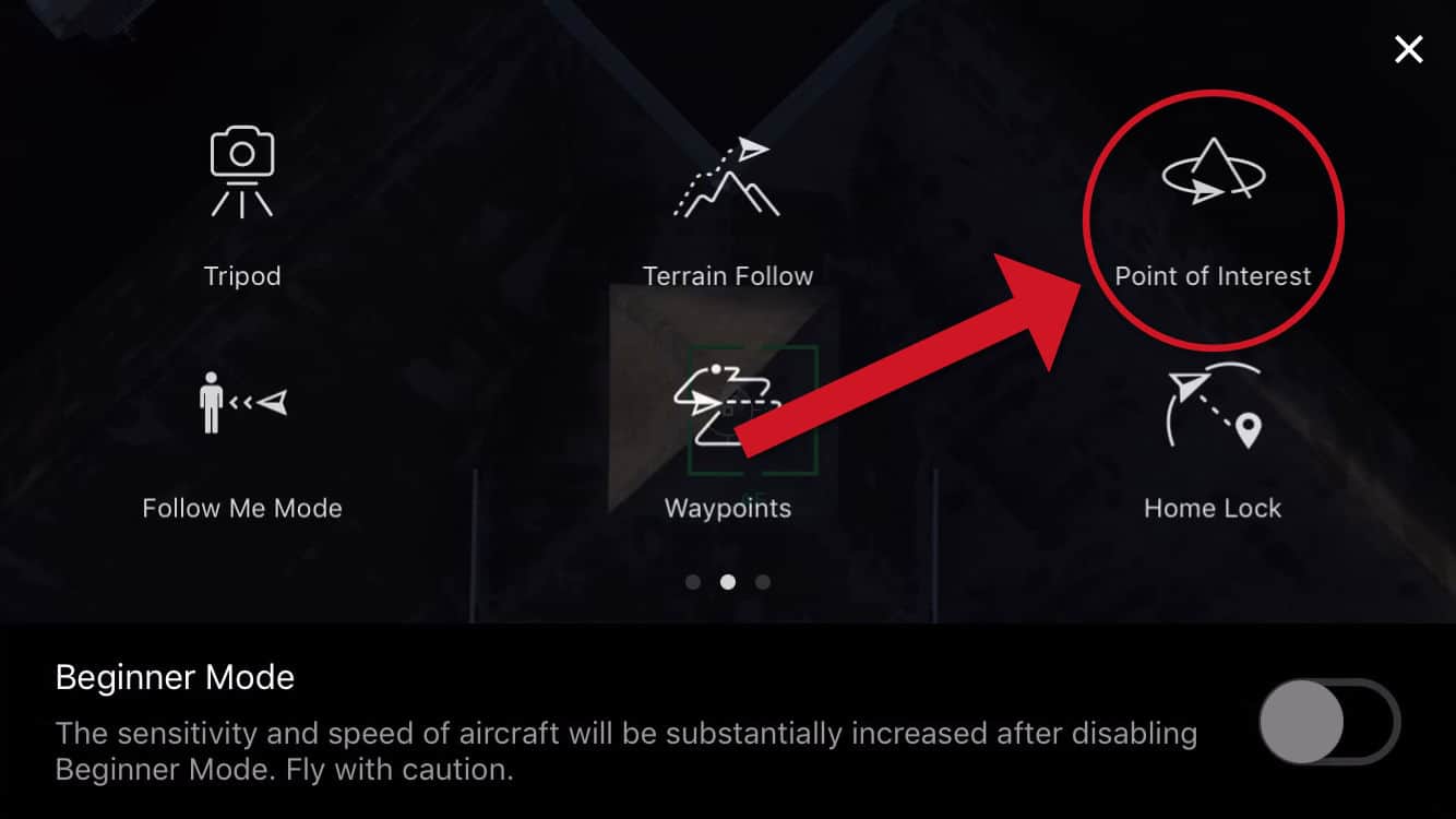
In order to get the best quality model detail from a residential site in Scanifly, we recommend using the "Orbit" or "Point of Interest" flight mode that your particular drone model has.

Screenshot of DJI Go 4 App with Point of Interest Mode.
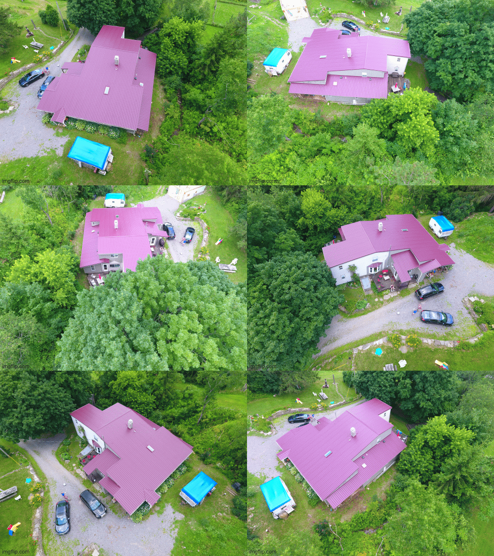
2. Context Flight:
The context flight is used to give context to the site, showing the structure and surrounding area.
- Flight height: ~70' AGL
- Gimbal Pitch: ~45°, make sure there is no horizon in view
- Speed: ~3mph with photos every 2-3 second, aiming for consistency

3. Detail Flight #1:
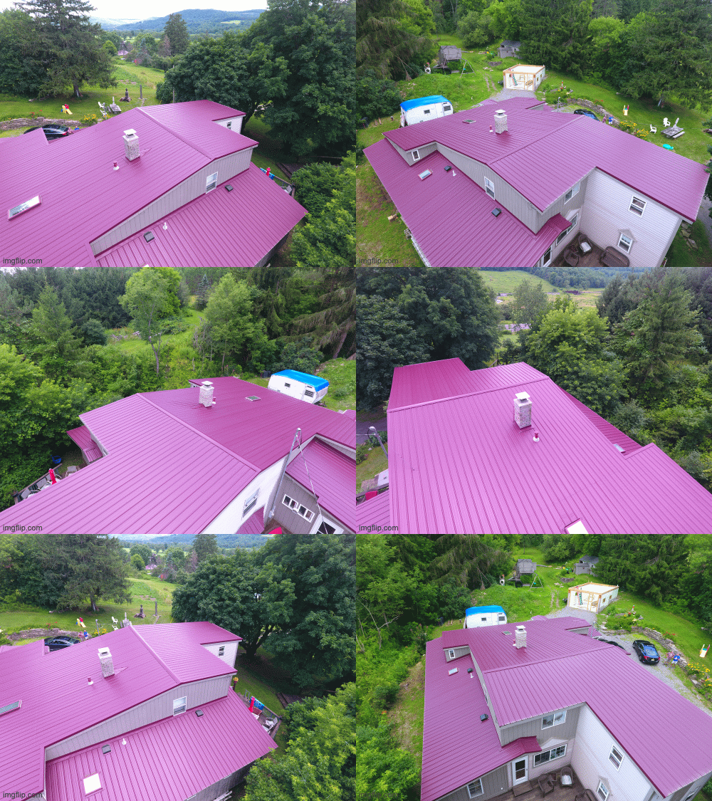
The detail flight is used to fill in the detail not captured by the context flight, and is flown at a much closer distance to the structure or area being modeled. In this case one detail flight was used for the structure.
- Flight height: ~10' above roof
- Gimbal Pitch: ~30°, make sure there is no horizon in view
- Speed: ~3mph with photos every 2-3 second, aiming for consistency

Example GIF Showing photos that make up a sample DETAIL Flight
4. Detail Flight #2:
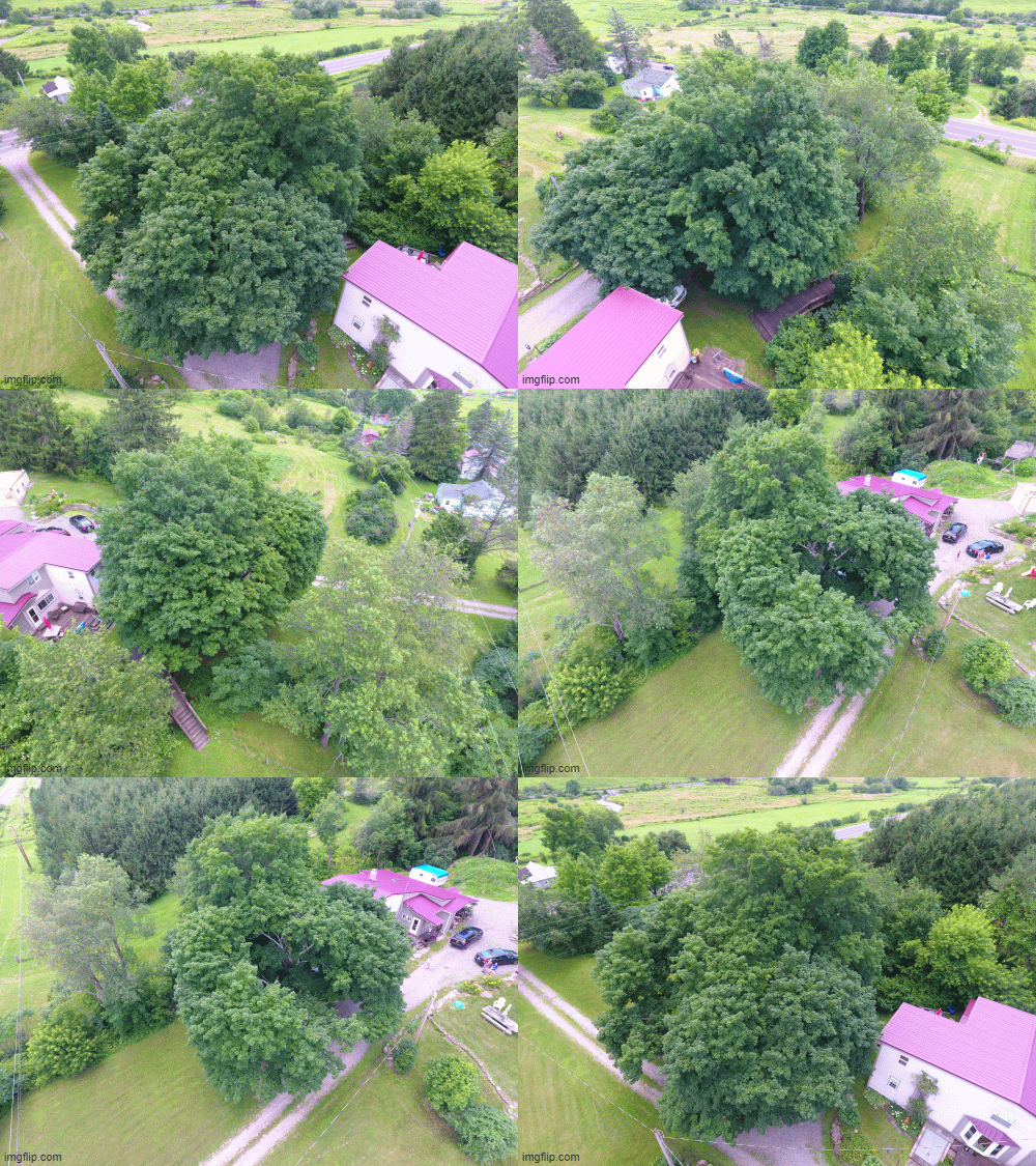
The detail flight is used to fill in the detail not captured by the context flight, and is flown at a much closer distance to the structure or area being modeled. In this case one detail flight was used for the large trees/shading obstructions to the south of the building. Similar parameters as Detail Flight #1 can be used here.

5. Photo Count and Breakdown:
- Total Photos: 199
- Context Flight: 41 Photos
- Detail Flight around Structure: 82 Photos
- Detail flight around Trees to the South: 76 Photos
Scanifly Upload diolague screenshot showing LAT/LON Coordinates of each photo uploaded overlayed on satellite map baselayer.
6. Scanifly Model
Updated 1 day ago